Saturday 30 June 2012

When You're Smiling....

THE LONG WALK  - DAY THREE

Bugs, Barley and a Boulder

Thankfully a calm day after yestesterday's storms, with good weather for walking - dry with some sunshine and a refreshing breeze.

Just five of us returned to set off again from Lapley Church - the sixth had been called away to domestic duties.  Everyone donned waterproof trousers, ready for more wet undergrowth. We all reported that our hands, which had various lumps and bumps, had been itching during the night - bugs?! But off we went to see what today would hold.


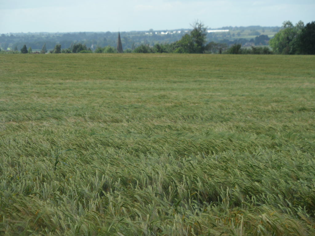
It was a lovely morning, and we enjoyed some wide views over fields of barley waving in the wind.


 Before long, we were approaching Polytunnel Land.


Today we needed to remove our waterproof gear.


Jane was prepared for the worst!


We still had to walk along overgrown field paths, but at least the greenery was dry today.


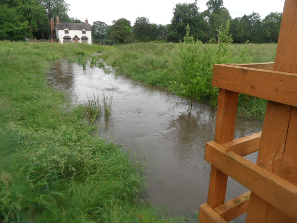
Everywhere we saw debris obviously left by rushing water, and as we reached Mitton Lane, we felt pleased we hadn't been there the day before. Until we rounded the corner ...


But what's a little floodwater to NWR members? Or a little mud?


 Some obstacles require a little thought


but an NWR member finds a way through!


After admiring the poppies


we spotted a handy bench for our elevenses.


Of course, this was the signal for it to start raining, but the shower did not last long.

A footbridge to nowhere.


Along the lane into Penkridge, where there were still signs of yesterday's floods in the High Street.


Penkridge is an old coaching town


with every facility: a bakery,


a bench


and loos.


From Penkridge we walked along the Staffs and Worcester Canal.


Private Parking!


The canal itself was peaceful, but the M6 could be seen and heard all too clearly,


Once we'd crossed under the motorway,


we soon reached Parkgate Lock for lunch.


Then it was over the bridge and into Teddesley Park -fields of oats this time!


Teddesley Hall is long gone, though the Home Farm remains.

We passed through a shady belt of trees


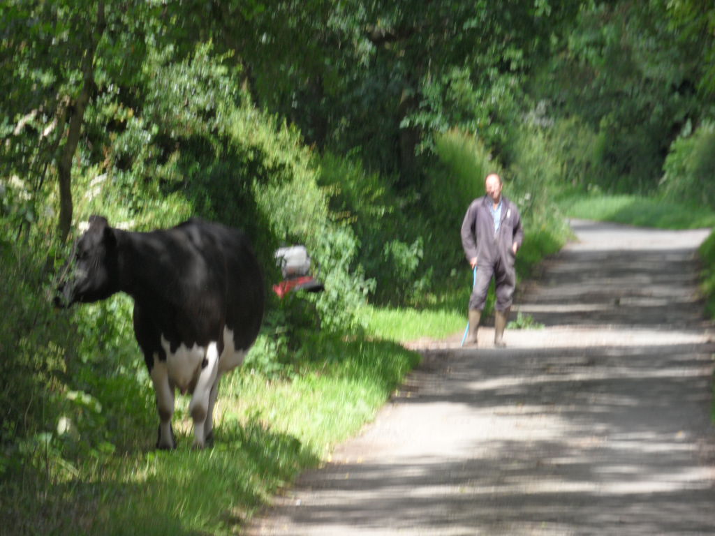
and made for the village of Bednall. Cow in the road!


A patriotic scarecrow.


Looking back towards Bednall over a barley field.


We had been climbing steadily since we left the canal, and now we climbed more steeply up to Bednall Belt, a belt of trees on the edge of Cannock Chase. The Chase lies on the Bunter Pebble Beds, water smoothed pebbles that were once carried by a mighty tropical river but now lie on the Chase making an awkward surface to walk on. Clearly many had been caught up in yesterday's floodwaters.


Looking back from Bednall Belt.


We Stafford members were very pleased to introduce our fellow walkers to the Chase, although the Way only passes through its western fringe. Walking up to the Oldacre Valley.


Climbing up from the Valley


Once we reached the Glacial Boulder, we felt we had earned a rest.


Then we walked down into the Sherbrook Valley


and walked along the edge of the busy A513 - whose idea was that? - to the Shugborough Hall estate.
Tower of the Winds.


a longhorn cow


Shugborough Hall, once the seat of the Anson family


We crossed the river on the Essex bridge, reputedly built by the Earl of Essex so that he could visit Queen Elizabeth at Chartley,


and then we crossed the canal to end our day at the Clifford Arms in Great Haywood.


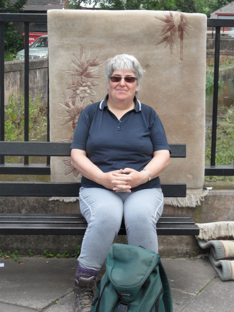
As you can see, we are still smiling!

Tomorrow we'll rejoin the Staffs and Worcester canal at Great Haywood. We hope to reach Uttoxeter, or at least get within striking distance of it.


Submitted by Sarah

Friday 29 June 2012

Super Trooper(s)

THE LONG WALK - DAY TWO

Through Tempest, Flood and Fire (Engines)

Day 2's walk was one we won't soon forget!

Anne and Chris (Trentham), Pauline (Moorlands), Maria - joining us for the day, Jane, Jane  & Sarah - photographer (all Stafford) set off again up Shop Lane, Trescott, believing that light showers were forecast for the middle of the day. However, once we had left the end of the lane to follow a field path, fat raindrops began to fall, and as we pulled on our raincoats, we noticed that the sky over to the west had become threateningly dark.


A torrential thunderstorm began, and it rapidly became too dark for photography.


There was nowhere to shelter as we went on over the fields and began to climb the footpath to Nurton. Did I say footpath? I should have said rushing torrent. As we went up, the water came down, faster and faster.


Eventually we emerged into Nurton where we had to cross the road. This turned out to be flooded, but we found the water was shallower down the centre of the road!


Now we had to follow a path along the side of Perton Golf Club. The water was so deep on the path that we thought the golf course itself might be be drier, but, as you can see, this was not so.


Eventually, however, when the path turned a corner, the water had become so deep, as Anne found by testing it with her walking pole, that we had to return and take to the golf course -taking care not to cross the greens.


As you can see, the rain had by now dripped into my camera.

As we walked on to Wrottessley Park, my fellow walkers suddenly asked me if I knew I was carrying a gallon of water in my rain cover. Although I hadn't been aware that my rucksack was getting heavier and heavier, it did feel much lighter once they'd emptied out the water. By now the rain had slackened off,


 and once it stopped, we decided it was time for elevenses on the edge of Wrottesley Golf Club .


This was the cue for the rain to start again, so off we squelched once more. After wading down the footpath a while, we decided to make for the golf course again and walk down the drive. A good idea -until we got to the Lodge gates...


Athough the van that drove in did wait so we didn't get splashed, the driver refused a request from one of us to reverse and give her a lift out to the road. From the main road we took a minor road Oaken. This sign is not a joke!


We walked down through a field towards Codsall, crossing a swollen stream,


and emerged into the village, only to find the road to the railway bridge closed due to flooding.


A young man shouted across that we could walk round to another gate, but we failed to find it until we got directions from a female walker.


After a detour through the streets of Codsall, we reached the other side of the flood


and as the road under the railway bridge was, of course, flooded,


we had to go into the station to cross by the footbridge. By now we were hearing lots of stories about the local and regional flooding, and hearing lot of fire engines, but our next surprise was a pleasant one! Codsall Railway Station turned out to house a cosy pub, complete with railway memorabilia - recommended.


Although the landlord told us another storm was on the way, we decided to strike out for Brewood. Already the floodwaters were draining away,


although as we walked on to Gunstone, we crossed a very swollen brook.


And as we walked towards Chillington, some of us were almost lost in the sodden crops.


At last a dryish field!


and a glimpse of Chillington Hall as we crossed the Upper Avenue.


Not far now to Brewood


but another detour here as the footpath the Way takes into the village was uninviting even for NWR (Notably Weather Resistant) members.


So down by the bridge


and along the towpath of the Shropshire Union Canal, which the Way follows for a couple of miles. Unbelievably, the sun was now shining.


Crossing the A5 on Thomas Telford's aqueduct,


 we made good time towards Lapley, and leaving the canal at Lapley Wood Farm,


 we walked up the farm road and through one last muddy field


to reach Lapley churchyard.


Lapley will be our rendezvous tomorrow morning. We didn't make it to Mitton today - too many detours and searchings for drier land! Are we still up for the Challenge? Of course! Maria was so pleased she'd joined our adventures, and another walker summed it up as 'A great day!'


Submitted by Sarah